Mapping & Photogrammetry Survey Drone
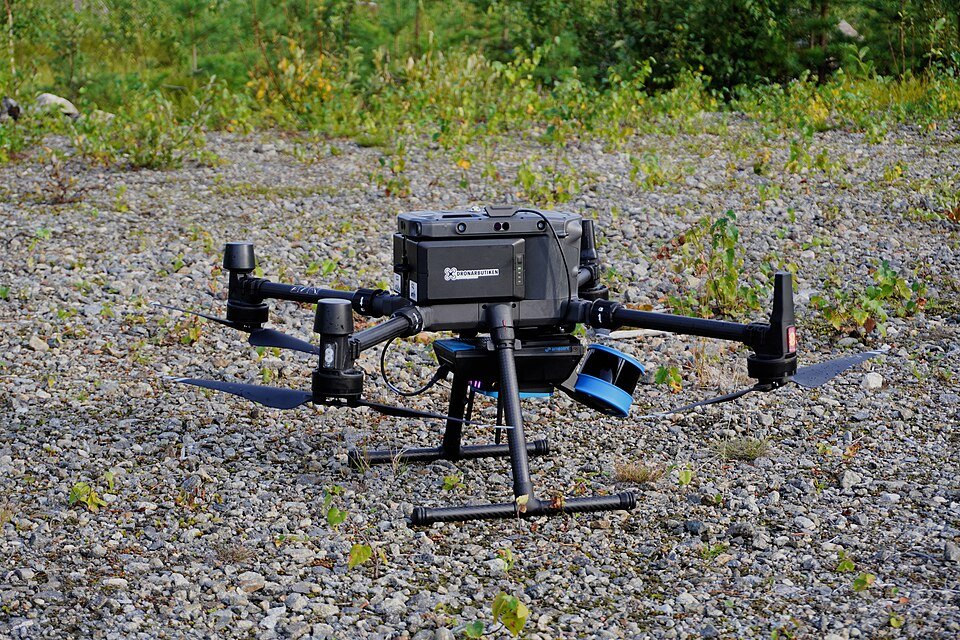
High-precision mapping drone for topographic surveys, land assessment, and construction site progress monitoring.
Request Pricing for This Product → Ask on WhatsAppSpecifications
| Payload | High-resolution mapping camera | Supplied by JCL |
|---|---|---|
| Outputs | Orthomosaics, 3D models and elevation models via processing software | Supplied by JCL |
| Full specifications | Message us on WhatsApp (+88 01937 096431) or email jamesconcernlimited@gmail.com for the full datasheet and available models | Supplied by JCL |
Applications
- Land and cadastral surveys
- Construction progress monitoring
- Mine and quarry volume measurement
- Urban planning and master plans
Features
- High-resolution aerial imaging for mapping
- Produces orthomosaics and 3D models
- Automated flight planning
- Covers large areas quickly
- Used for land, construction and planning surveys
- Also known as: survey drone, mapping drone
- Mapping & Photogrammetry Survey Drone supplier in Dhaka, Bangladesh, with price and datasheet on request
Accessories
- Spare flight batteries and charger
- Photogrammetry processing software
- GNSS RTK module
- Hard transport case
- Ask us for the full accessory list for your chosen model
Industries
Survey and mapping, Agriculture, Infrastructure inspection, Disaster management, Universities and research institutes
Get A Quote
Request Pricing
Interested in the Mapping & Photogrammetry Survey Drone? Fill out the form below and our team will send you a detailed quotation.